Construction Progress DocumentATION
MAPPING AND MEASURING
Keep Every Stakeholder in the Picture — From Groundbreaking to Grand Opening
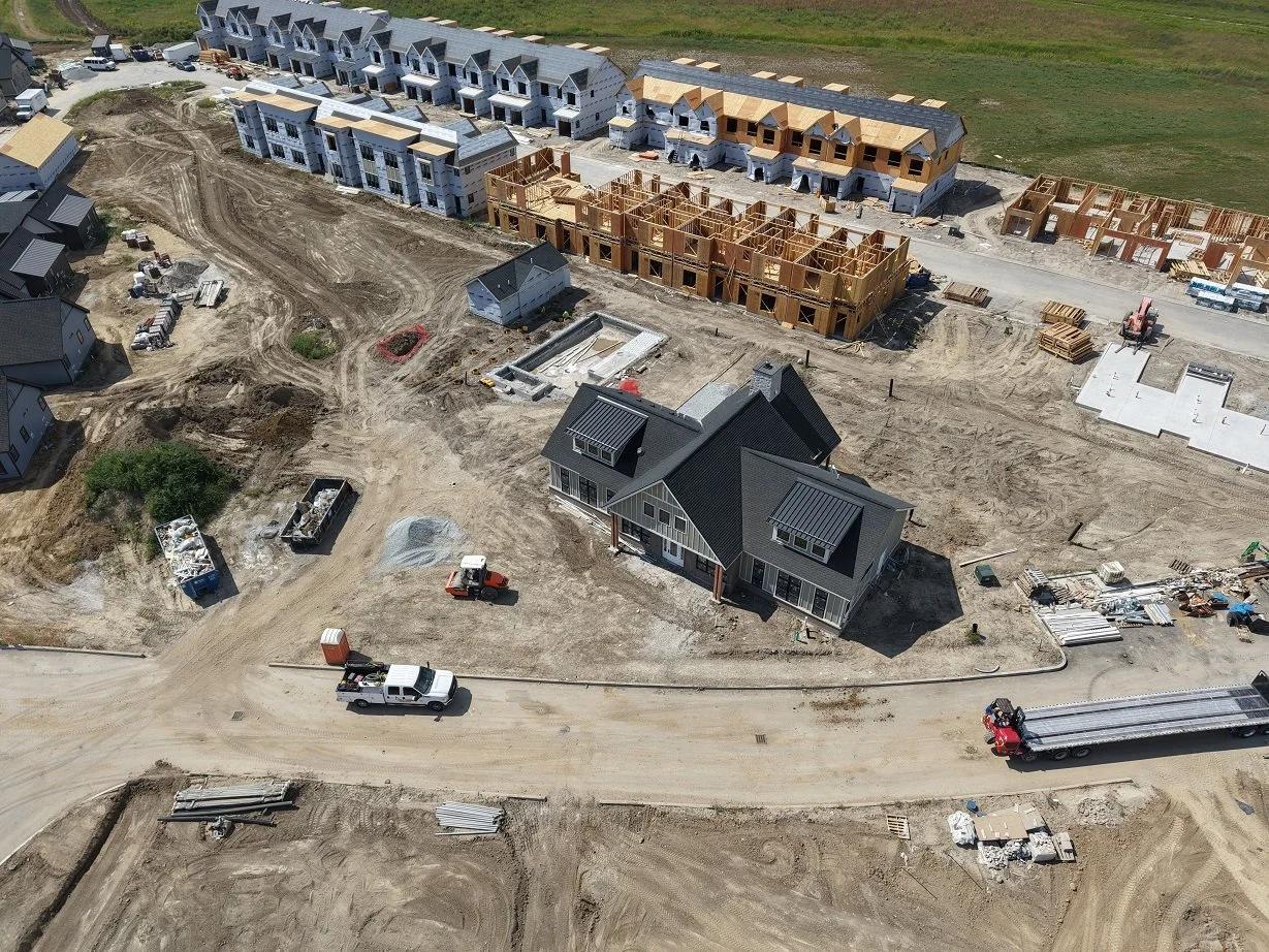
Whether you're managing a commercial development, residential subdivision, road project, or infrastructure build, Excelsior Aerial Solutions provides scheduled aerial photography and mapping that gives you a comprehensive, chronological visual and data record of your project's progress.
Aerial progress photography does more than document — it communicates. Investors, owners, and project managers get a clear, bird's-eye view of site conditions, phase completions, and overall progress without ever setting foot on site. When questions arise about scheduling, scope, or site conditions, your aerial record provides an objective, timestamped reference that protects everyone involved.
What You Can Expect:
Scheduled shoots aligned to your project milestones or at regular intervals — weekly, bi-weekly, or monthly
Consistent flight paths and angles across sessions for true apples-to-apples comparison
High-resolution aerial still photography delivered as unedited image files
Fast turnaround — typically within 24 hours of each shoot
A growing visual archive that tells the complete story of your project
Beyond Photography: Mapping & Measurement
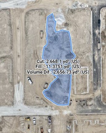
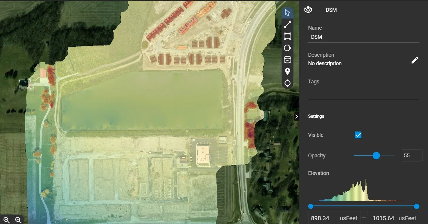
For projects that need more than just visual documentation, we offer orthomosaic mapping and photogrammetry processed through the PIX4Dcloud platform. These high-accuracy 2D maps and 3D models let you measure distances, track earthwork volumes, and verify site conditions against your plans — turning your aerial imagery into actionable data alongside your visual record.
Ideal For: Commercial construction, residential developments, road and infrastructure projects, agricultural facility builds, and any project where documented visual progress — or precise site data — has operational or legal value.
Contact us to discuss a progress documentation and mapping schedule tailored to your project timeline and budget.